
Chapter 16
Navigation
Introduction
This chapter provides an introduction to cross-country flying under visual flight rules (VFR). It contains practical information for planning and executing cross-country flights for the beginning pilot.
Air navigation is the process of piloting an aircraft from one geographic position to another while monitoring one’s position as the flight progresses. It introduces the need for planning, which includes plotting the course on an aeronautical chart, selecting checkpoints, measuring distances, obtaining pertinent weather information, and computing flight time, headings, and fuel requirements. The methods used in this chapter include pilotage-navigating by reference to visible landmarks, dead reckoning-computations of direction and distance from a known position, and radio navigation-by use of radio aids.
Aeronautical Charts
An aeronautical chart is the road map for a pilot flying under VFR. The chart provides information that allows pilots to track their position and provides available information that enhances safety. The three aeronautical charts used by VFR pilots are:
- Sectional
- VFR Terminal Area
- World Aeronautical
A free catalog listing aeronautical charts and related publications including prices and instructions for ordering is available at the Aeronautical Navigation Products website: www.aeronav.faa.gov.
Sectional Charts
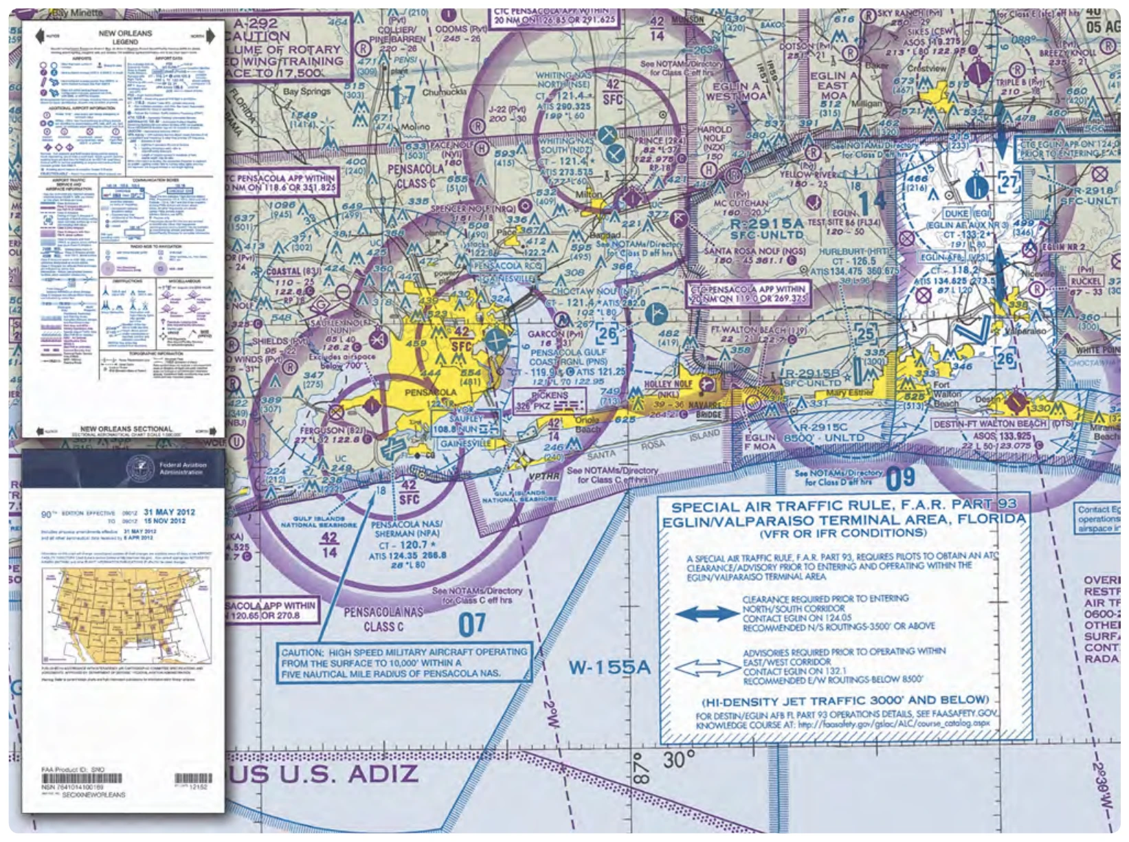
Sectional charts are the most common charts used by pilots today. The charts have a scale of 1:500,000 (1 inch = 6.86 nautical miles (NM) or approximately 8 statute miles (SM)), which allows for more detailed information to be included on the chart.
The charts provide an abundance of information, including airport data, navigational aids, airspace, and topography.
chart. By referring to the chart legend, a pilot can interpret most of the information on the chart. A pilot should also check the chart for other legend information, which includes air traffic control (ATC) frequencies and information on airspace. These charts are revised semiannually except for some areas outside the conterminous United States where they are revised annually.
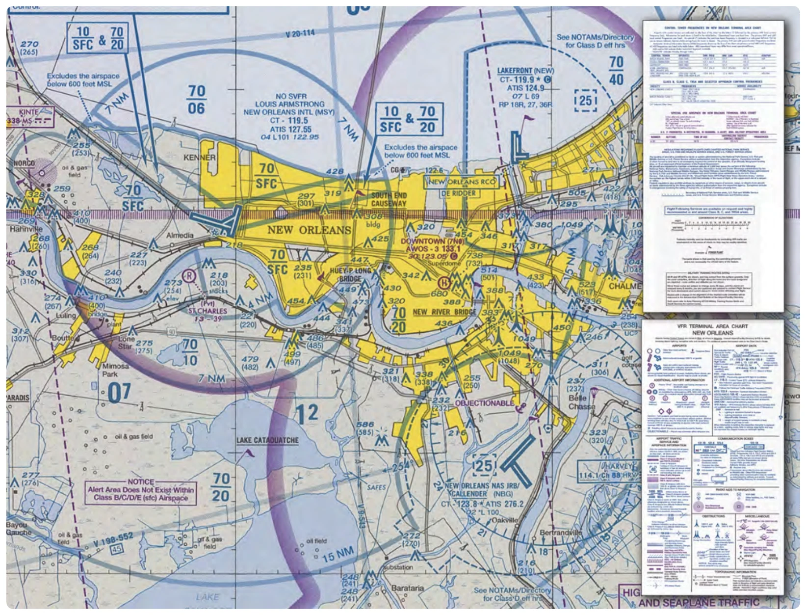
VFR Terminal Area Charts
VFR terminal area charts are helpful when flying in or near Class B airspace. They have a scale of 1:250,000 (1 inch = 3.43 NM or approximately 4 SM). These charts provide a more detailed display of topographical information and are revised semiannually, except for several Alaskan and Caribbean charts. [Figure 16-2]
World Aeronautical Charts
World aeronautical charts are designed to provide a standard series of aeronautical charts, covering land areas of the world,
at a size and scale convenient for navigation by moderate speed aircraft. They are produced at a scale of 1:1,000,000 (1 inch = 13.7 NM or approximately 16 SM). These charts are similar to sectional charts, and the symbols are the same except there is less detail due to the smaller scale. [Figure 16-3] These charts are revised annually except several Alaskan charts and the Mexican/Caribbean charts, which are revised every 2 years.
Latitude and Longitude (Meridians and Parallels)
The equator is an imaginary circle equidistant from the poles of the Earth. Circles parallel to the equator (lines running east and west) are parallels of latitude. They are used to measure degrees of latitude north (N) or south (S) of the equator. The angular distance from the equator to the pole is one-fourth of a circle or 90°. The 48 conterminous states of the United States are located between 25° and 49° N latitude. The arrows in Figure 16-4 labeled “Latitude” point to lines of latitude. Meridians of longitude are drawn from the North Pole to the South Pole and are at right angles to the Equator. The “Prime Meridian,” which passes through Greenwich, England, is used as the zero line from which measurements are made in degrees east (E) and west (W) to 180°. The 48 conterminous states of the United States are between 67° and 125° W longitude. The arrows in Figure 16-4 labeled “Longitude” point to lines of longitude.